How the World Eats / Chapter 4 of 8
Routes and chokepointsHow food physically moves around the world, and where it is most exposed
Food trade is a physical business. Grain, meat and fruit travel by river, rail, road and sea, through ports, canals and narrow straits. When one of those points is blocked, the effect reaches markets that never touch it.

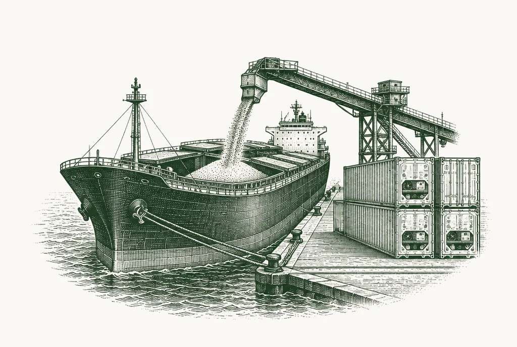
How food travelsships, barges, trains and planes
- Main mode
- Sea, for most of the journey
- Bulk
- Grains, oilseeds, sugar, fertiliser
- Containers
- Meat, dairy, seafood, produce, packaged food
- Air
- High-value, highly perishable products
Most internationally traded food spends at least part of its journey at sea. Maritime transport carries around 80% of the global movement of goods 2.
How it travels depends on what it is.
Bulk carriers move grains, oilseeds, sugar and fertiliser loose in their holds. They are large, slow and cheap per tonne, and they load and unload at specialist terminals with silos, conveyors and loading spouts.
Container ships move frozen and chilled meat, dairy, seafood and fresh produce in refrigerated containers ("reefers"), along with processed and packaged food in dry containers. Container lines run fixed schedules between major ports.
Tankers carry vegetable oils and other liquids.
Air freight is used for high-value, highly perishable products such as fresh fish, berries and cut flowers. It is fast and expensive, and carries a small share of the volume.
Before any of this reaches the sea, it has to get to a port. Rivers, railways and roads carry grain from farms to export terminals. In many exporting countries, that inland journey is as important, and as fragile, as the sea crossing.
The main corridors
A few long-distance routes carry most of the food that crosses borders. They connect the breadbaskets described in Chapter 3 to the importers that depend on them.
The Americas to Asia. Soybeans, corn, wheat and meat move from the United States, Brazil and Argentina to China, Japan, South Korea and Southeast Asia. From the US Gulf, ships cross through the Panama Canal. From the US Pacific Northwest, they sail directly across the Pacific. From Brazil and Argentina, they travel either around the Cape of Good Hope or across the Atlantic and Indian Oceans towards the Strait of Malacca.
The Black Sea to the Middle East, North Africa and beyond. Wheat, corn and sunflower oil from Russia and Ukraine pass through the Turkish Straits (the Bosphorus and the Dardanelles) into the Mediterranean. From there they reach Egypt, Turkey and North Africa, or continue through the Suez Canal and the Red Sea to the Gulf, East Africa and Asia.
Europe to Asia and the Middle East. Dairy, pigmeat, wheat and processed food travel from Europe through the Mediterranean, the Suez Canal and the Red Sea to the Middle East and Asia. In the other direction come seafood, rice, tropical products and many ingredients.
Southeast Asia to the world. Palm oil, rice and seafood leave Indonesia, Malaysia, Thailand and Vietnam. Much of the region's trade passes through or near the Strait of Malacca.
Oceania to Asia. Beef, dairy, wheat and barley move north from Australia and New Zealand to Asian markets, largely avoiding the major canals and straits.

Where routes narrow, disruption travels fast.
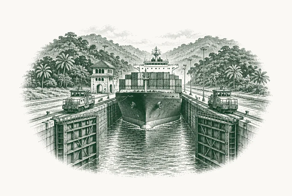
The chokepointswhere the routes narrow
- Maritime
- Panama, Turkish Straits, Suez, Bab el-Mandeb, Hormuz, Malacca
- Main risks
- Drought, conflict, accidents, politics
- Alternatives
- Some have detours; some have none
A chokepoint is a narrow point on a trade route where a large share of traffic must pass. If it closes or slows, there may be no easy way around.
The most comprehensive study of chokepoints in food trade identified 14 of global importance: maritime straits, major port regions and inland transport networks. It found that more than half of internationally traded grain must pass through at least one of them, and that over 10% depends on a maritime chokepoint with no viable alternative route 1.
Where the routes narrow
The Panama Canal links the Atlantic and Pacific. It is the shortest route from the US Gulf to Asia for grain and soybeans. It depends on fresh water from a lake system to operate its locks, which makes it vulnerable to drought.
The Turkish Straits are the only sea route out of the Black Sea. Every cargo of Black Sea grain shipped by sea passes through them.
The Suez Canal and Bab el-Mandeb together form the shortest route between Europe and Asia. The Suez Canal handled roughly 12% to 15% of global trade in 2023 2. Bab el-Mandeb, at the southern end of the Red Sea, is a separate chokepoint and can be disrupted even when the canal itself is open.
The Strait of Hormuz is the only sea entrance to the Gulf. The Gulf states depend heavily on imported food, so a disruption there affects food supply as well as energy.
The Strait of Malacca connects the Indian Ocean to East Asia. Over one quarter of global soybean exports pass through it, mainly to feed livestock in China and Southeast Asia 1.
The same study found that the Panama Canal and the Strait of Malacca carry the largest grain volumes of the maritime chokepoints, because they link Western suppliers to Asian markets 1.
A note on the data: the Chatham House figures are from 2017. Trade patterns have shifted since then, especially with the growth of Brazilian exports to China, but the study remains the standard reference on the subject.
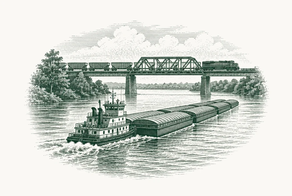
The inland chokepointsthe journey before the sea
- Key routes
- US rivers, Brazil's roads and ports, Black Sea railways
- Main risks
- Low water, strikes, congestion, conflict
- Why it matters
- Often the real bottleneck for exporters
Many of the most important chokepoints are on land. Food has to get from farm to port, and in the largest exporting countries that depends on a small number of rivers, railways and terminals.
US inland waterways. Inland waterways carry about 60% of US exports of maize, wheat, rice and soybeans to the sea, mainly down the Mississippi system to the Gulf Coast ports 1. When river levels fall in a drought, barges must carry lighter loads, and export costs rise.
Brazil's roads and ports. Much of Brazil's soybean and corn crop travels long distances by truck to a small number of ports. Four Brazilian ports were responsible for a quarter of global soybean exports 1. Road conditions, port queues and strikes all affect how quickly Brazil's harvest reaches the world.
Black Sea railways. Around 60% of Russian and Ukrainian wheat exports depended on rail to reach the Black Sea ports 1. Rail capacity, and the security of the ports themselves, shape how much the region can export.
These inland routes rarely make headlines outside the countries concerned. For exporters, they are often the real bottleneck.
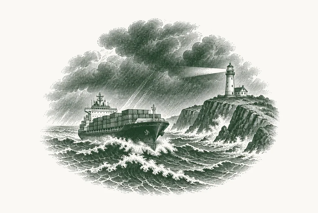
When chokepoints failthree recent episodes
- Black Sea
- 2022: war and blockade
- Panama Canal
- 2023–24: drought
- Red Sea
- From late 2023: attacks on shipping
Three recent episodes show what happens when a key route is disrupted.
The Black Sea, 2022. After the war in Ukraine began, Ukrainian ports were blockaded. A deal brokered by Turkey and the United Nations, the Black Sea Grain Initiative, reopened a corridor. Before Russia withdrew in July 2023, it allowed Ukraine to export nearly 33 million tonnes of grain and other agricultural products 5. Ukraine has since shipped through its own corridor and by land, but the episode showed how quickly a major exporter can be cut off.
The Panama Canal, 2023–24. A severe drought lowered the water levels that the canal's locks depend on. The Panama Canal Authority reduced daily transits from an average of 36 to 22 3. By January 2024, total transits were 36% lower than a year earlier 2. US grain exporters faced longer queues and higher costs, and some shipments were rerouted.
The Red Sea, from late 2023. Attacks on shipping in the Red Sea led major shipping lines to avoid the route and sail around the Cape of Good Hope instead. UNCTAD estimated that trade volumes through the Suez Canal fell by 42% over two months, and weekly container ship transits fell by 67% compared with a year earlier 2. The detour adds considerable distance and time to voyages between Asia and Europe.
These episodes share a pattern. Food usually still gets through, but it takes longer and costs more. Those extra costs are passed along the chain. UNCTAD has estimated that around half of the increase in food prices in 2022 was due to higher transport costs 4.
The cost of distance
Transport is not just a physical link. It is a price.
In Chapter 1 we introduced two trade terms: FOB, the price of goods loaded at the export port, and CIF, the price delivered to the destination. The gap between them is freight and insurance. When a route becomes longer, riskier or more congested, that gap widens.
This matters in three ways.
- It changes who can compete. An exporter close to its market has a natural advantage. When freight costs rise, distant suppliers become less competitive, and nearby ones gain.
- It changes import costs. For importing countries, higher freight and insurance raise the landed cost of food, even if world commodity prices do not move.
- It changes trade flows. Buyers switch to closer origins, and sellers look for markets they can reach more cheaply.
Freight markets are volatile. Rates can double or triple within weeks when a route is disrupted, then fall back when capacity returns.
How to use this when reading signals
When a GFO signal reports a transport development, ask three questions.
- Which corridor does it affect? A problem at the Panama Canal matters most for US exports to Asia. A problem in the Red Sea matters most for trade between Europe, the Middle East and Asia.
- Is there an alternative route? If ships can go around, the effect is higher cost and delay. If there is no real alternative, as with the Turkish Straits for Black Sea grain, the effect can be a loss of supply.
- How long will it last? A storm closes a port for days. A drought can reduce a canal's capacity for months. A conflict can change routes for years.
Chapter 5 turns from how food moves today to what will shape demand over the next 25 years.
Sources
- Chatham House (Bailey, R. and Wellesley, L.), Chokepoints and Vulnerabilities in Global Food Trade, June 2017.↩
- UNCTAD, press briefing on Red Sea, Black Sea and Panama Canal disruptions, 26 January 2024.↩
- UNCTAD, Navigating Troubled Waters: Impact to Global Trade of Disruption of Shipping Routes in the Red Sea, Black Sea and Panama Canal, February 2024, as reported by India Seatrade News.↩
- UNCTAD, estimate of transport costs in 2022 food price increases, as reported by UN News, January 2024.↩
- USDA FAS, Grain: World Markets and Trade, August 2023.↩
Last reviewed 21 September 2026
See the system move, every week.
GFO's weekly signal summary tracks the developments that matter across price, trade, supply, biosecurity, regulation and climate. Free, no card required.